
Souda - Frankokastello,
West Crete
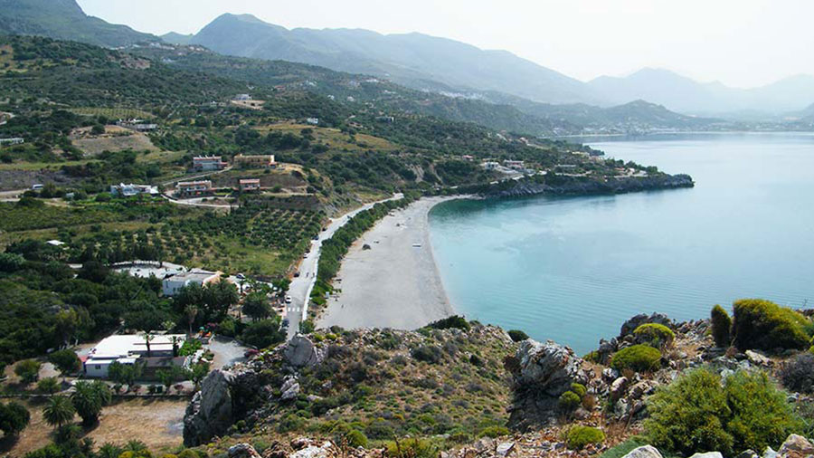
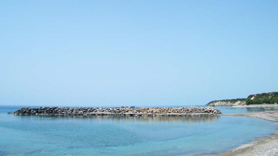
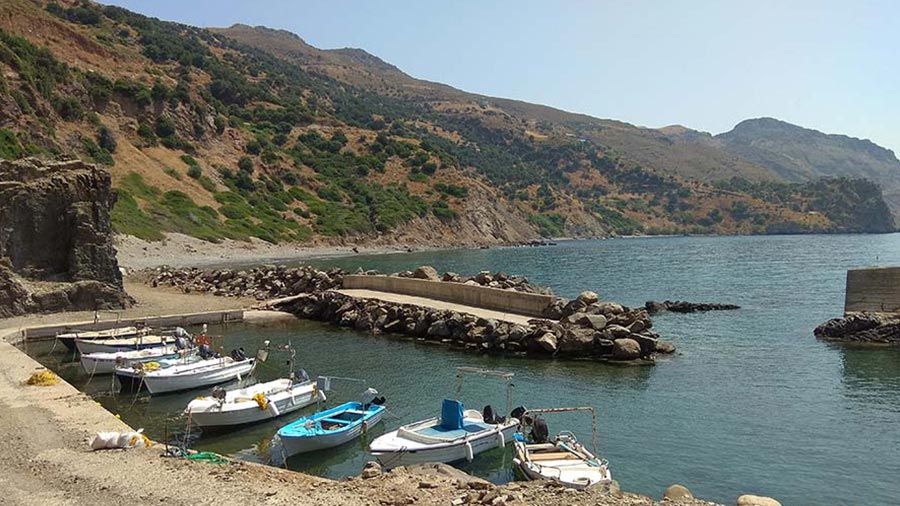
The ~16-kilometer route from Souda (Plakias) to Frangokastello is a spectacular coastal run that hugs the rugged southern shores of the Rethymno region. Moving west from the palm-fringed bay of Souda, this road balances sweeping tarmac bends with a short, easy unpaved section around Peristeres beach, offering uninterrupted views of the Libyan Sea.
1. From Souda Bay to the Coast Road
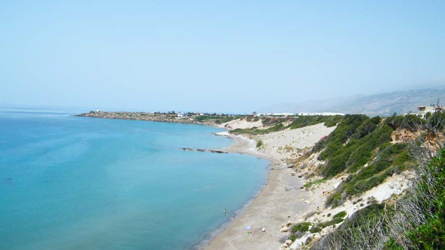
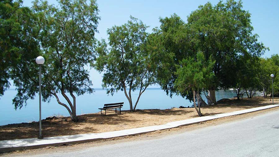
The journey kicks off at Souda beach, located just west of Plakias. Leaving the sheltered, green valley behind, the road climbs briefly to join the main southern coastal artery. This initial stretch provides a smooth, fluid paved drive, carving along the cliffs with the deep blue expanse of the sea tracking constantly on your left.
2. The Peristeres Dirt Track (The Unpaved Section)
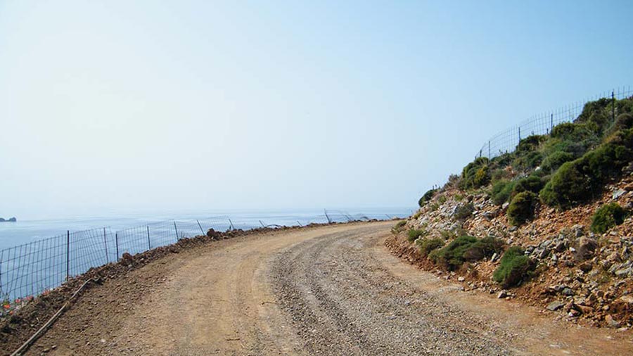
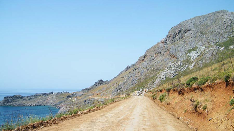
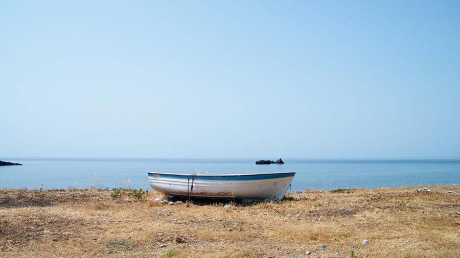
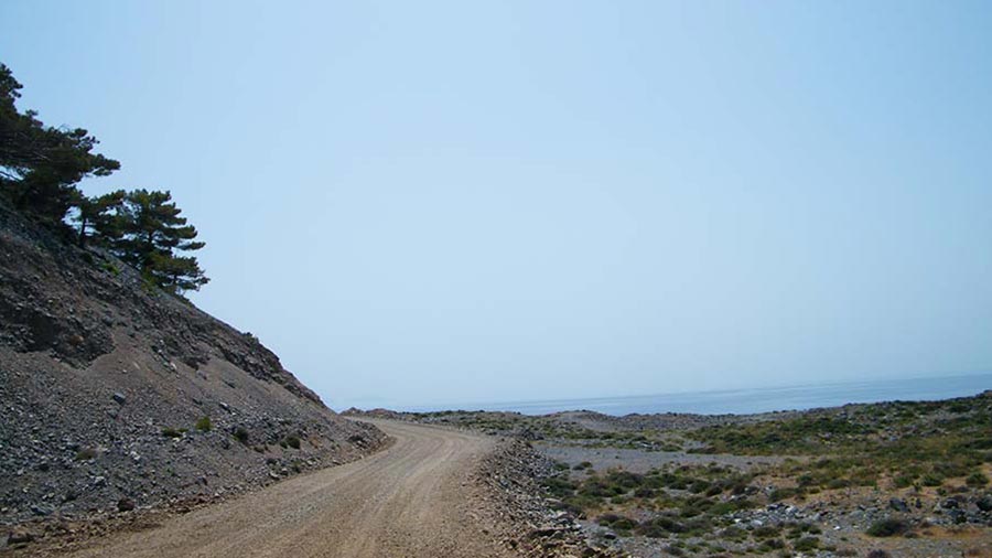
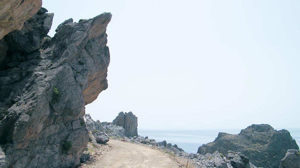
As you approach the area around Peristeres beach, the asphalt temporarily breaks into a short, well-packed dirt road. This section is flat and highly accessible, requiring no advanced off-road skills. The track runs almost level with the coastline, allowing you to kick up a little dust while listening to the waves crash against the rocky shore just meters away.
3. Cruising into the Sfakian Plain
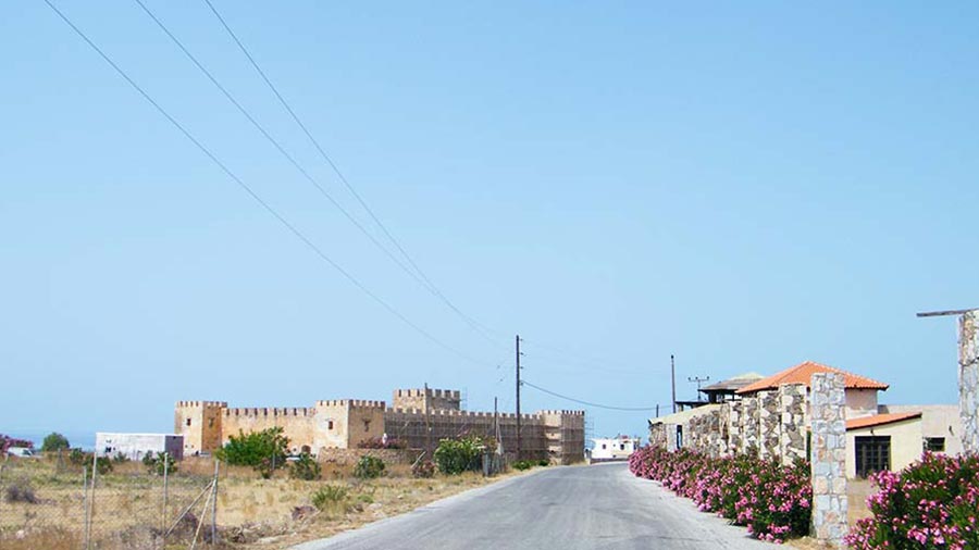
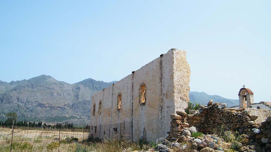
Rejoining the smooth asphalt, the route straightens out as the rugged cliffs give way to the flat, coastal plain of Frangokastello. The final kilometers are a relaxed, open cruise through agricultural plots and scattered seaside homes, culminating at the striking silhouette of the 14th-century Venetian fortress standing proudly right on the water's edge.
Whispers of the Shore: Local Secrets
The Drosoulites: Frangokastello is famous for one of Greece's most legendary ghost stories. In late May or early June, early morning mist over the plain occasionally creates a mirage known as "Drosoulites" (Dew Men)—visions of armed Cretan rebels who died fighting the Ottomans here in 1828, marching toward the castle.
The Hidden Coves: The stretch of coastline between Rodakino and Peristeres is dotted with tiny, unorganized pebble coves that are completely invisible from the main upper highway, perfect for a quiet swim.
Rider’s Notes
Road Width: Standard provincial width for the paved sections, narrowing down slightly to a natural coastal track through the Peristeres beach segment.
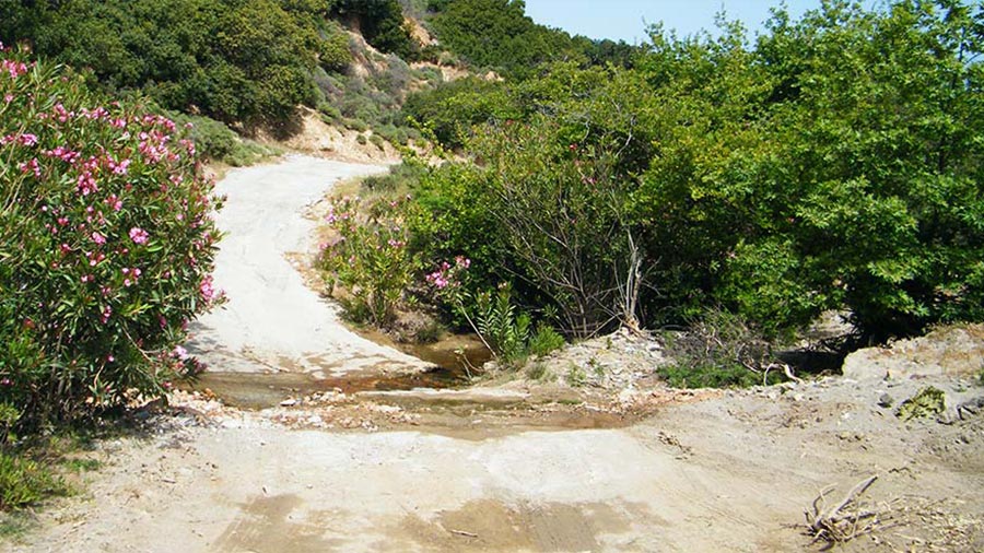
Surface: Mostly paved asphalt with good grip, interrupted by a short, easy, and flat unpaved dirt section. It is perfectly manageable for standard road cars and street-legal motorcycles, though you should watch for occasional patches of soft sand blown onto the track from the beach.
Caution: The southern coast is notorious for intense "Katabatic" winds blowing down from the mountain gorges above. On windy days, prepare for strong, sudden side gusts, especially on the more open, exposed coastal shelves.
Info box
Surface: Asphalt & Unpaved part
Unpaved difficulty level: 3 (easy)

Road classes: Unclassified
Terrains: Coastal
Traffic: Almost none
Coordinates start (DD): 35.19212380791925,24.36442146868817
Coordinates end (DD): 35.181899068342574,24.234485876275222