
Axos - Nida,
Central Crete
The ~28-kilometer route from Axos to the Nida Plateau is a journey straight into the mythical heart of Crete. This alpine drive climbs from the green, water-blessed foothills of the Mylopotamos region up into a high-altitude plateau that sits like a giant amphitheater under the highest peaks of Mount Psiloritis.
1. The Climb into the High Country
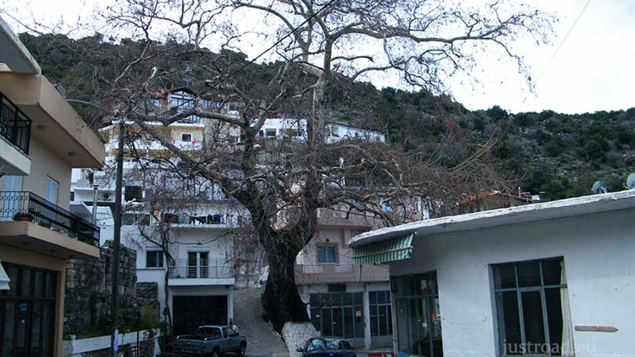
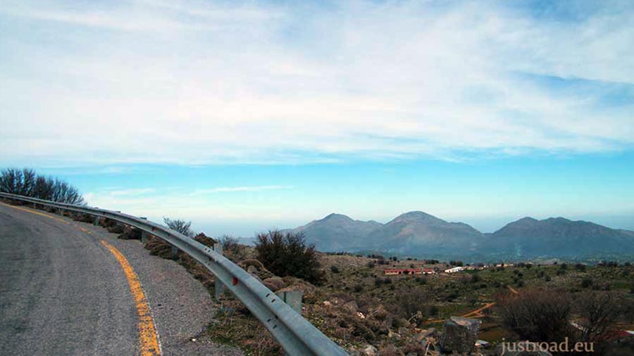
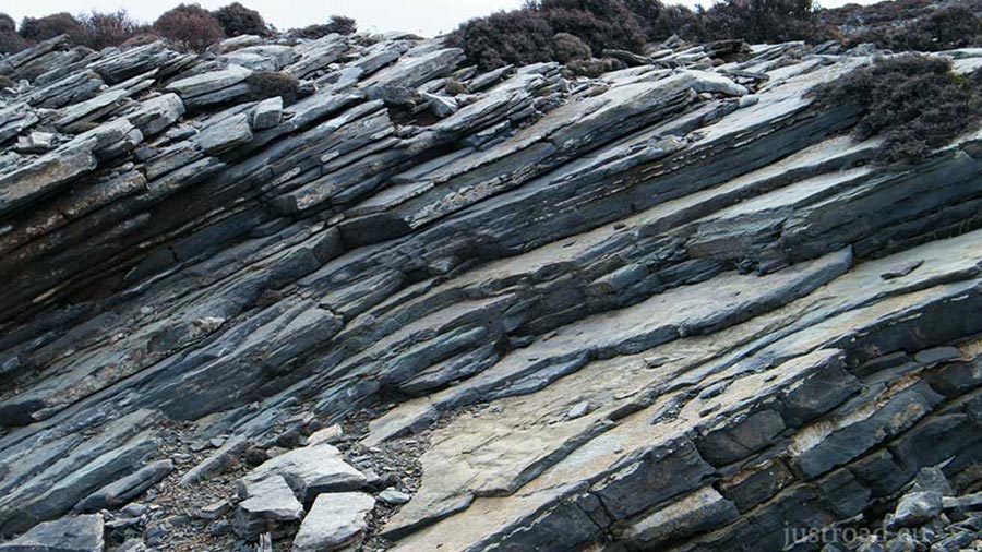
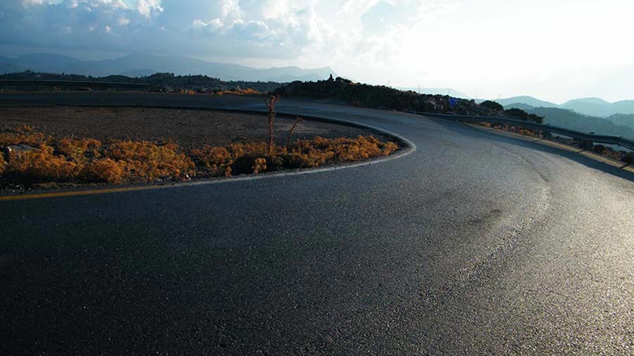
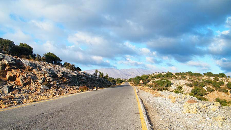
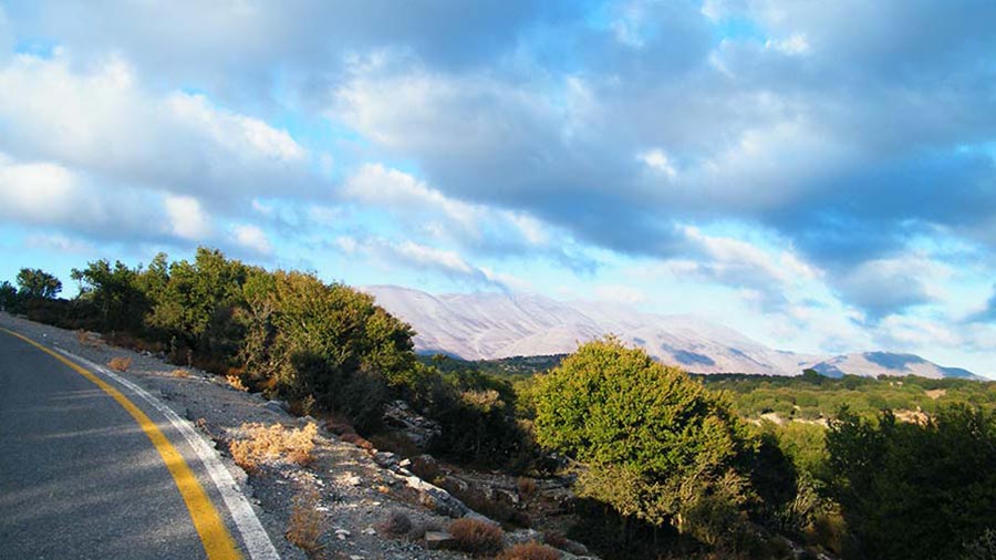
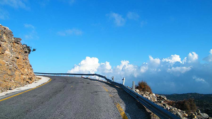
The journey begins at the archaeological roots of Axos, heading East before turning south toward the historic town of Anogeia. Once you clear the village streets, the asphalt road begins to snake upward. The olive trees fade behind you, replaced by rugged limestone slopes, low scrub, and the dramatic, wide-open mountain scenery that defines this region.
2. Crossing into the Alpine Plain
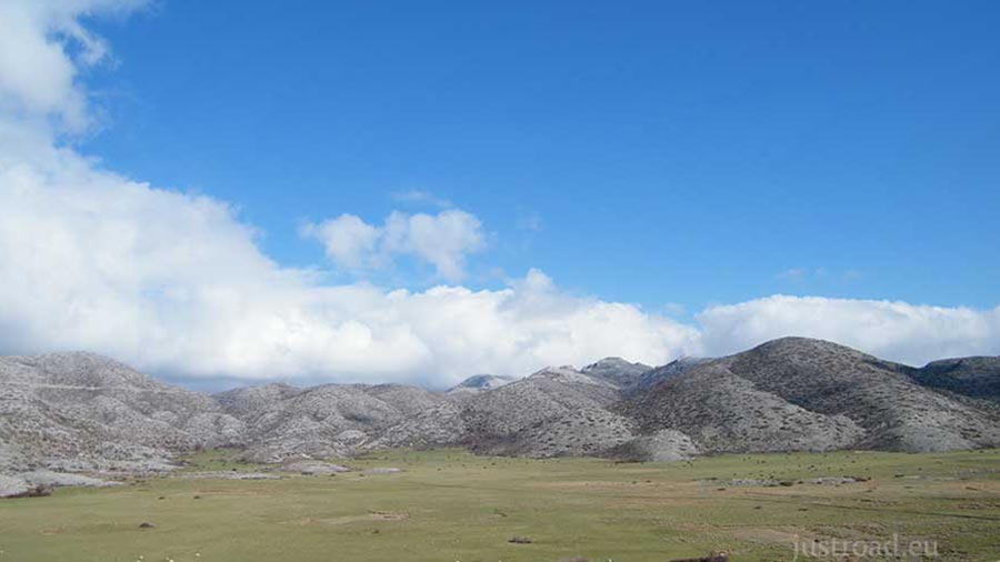
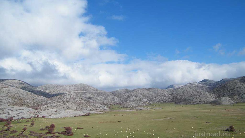
As you push past the final steep ridges, the road levels out dramatically as you enter the Nida Plateau, sitting at an elevation of roughly 1,400 meters. The landscape here is flat, vast, and completely surrounded by towering summits. The stark contrast between the winding mountain walls and this massive, open alpine plain creates an incredible sense of scale and isolation.
3. The Gateway to Ideon Andron
The paved road leads you right across the plateau toward its western edge. This is the ultimate destination for explorers, as Nida serves as the starting point for the hike up to the summit of Timios Stavros (2,453m) and sits right at the doorstep of the Ideon Andron cave, one of the most sacred sites of the ancient world.
Whispers of the Sacred Peak: Local Secrets
The Birthplace of Zeus: The Ideon Andron cave, carved into the rock face flanking the plateau, is celebrated in Greek mythology as the place where Rhea hid the infant Zeus from his father, Cronus, to be raised by the Kouretes and the nymph Amaltheia.
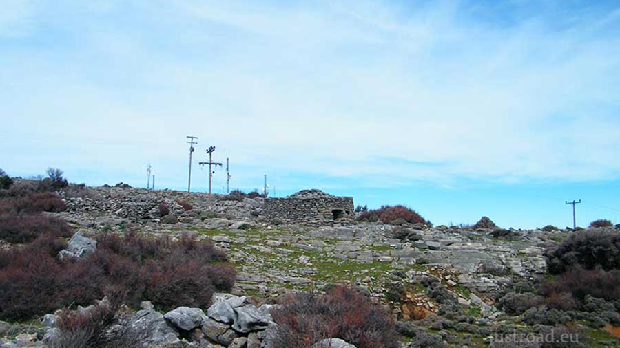
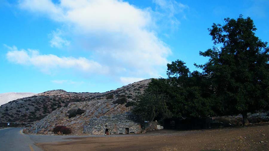
The Stone Mitata: Nida is famous for its exceptionally well-preserved "mitata"—the domed, dry-stone shepherd huts that look like ancient beehives. These structures are masterclasses in traditional, mortarless masonry, built to keep shepherds cool in the summer and warm in the sub-alpine winters.
The Snowbeds of Nida: Due to its high elevation and surrounding peaks, the plateau often holds pockets of snow well into the late spring, feeding the underground springs that supply the lower villages with water.
Rider’s Notes
Road Width: Standard provincial B-road. The asphalt is wide enough for two vehicles to pass comfortably for the vast majority of the route, though standard mountain vigilance is required on the blind bends.
Surface: Fully paved asphalt all the way onto the plateau. The tarmac is generally in fair condition, but winter frost at this altitude can create sudden potholes or leave loose gravel washed down from the cliffs.
Caution: The high-altitude microclimate means temperatures on the Nida Plateau can be 10°C to 15°C cooler than the coast, and dense mountain fog can roll across the plain in minutes. Keep a sharp eye out for free-roaming sheep and goats, which frequently block the asphalt.
Info box
Surface: Asphalt
Road classes: B road, C road
Terrains: Mountainous
Traffic: Light
Coordinates start (DD): 35.30794296, 24.84153545
Coordinates end (DD): 35.20682567, 24.83500631