
Pale round trip,
West Crete
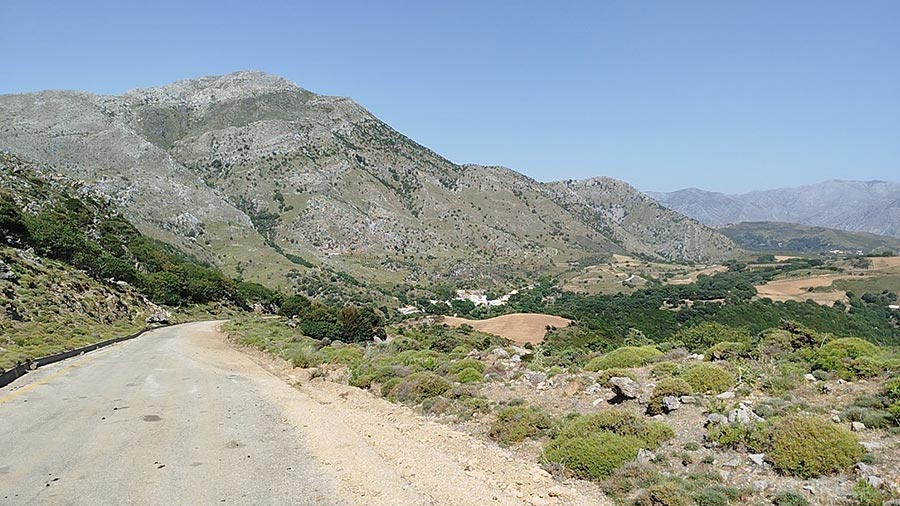
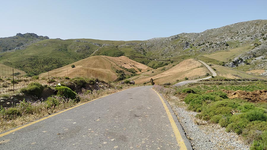
The ~62-kilometer "Pale Round Trip" is a magnificent, flowing loop that showcases the absolute best of Rethymno’s inland geography. Starting and ending at Pale, this comprehensive B-road circuit guides you through deep river valleys, dramatic rocky passages, and a string of traditional settlements nestled in the olive-strewn foothills of the western interior.
1. The Southern Valley & Gorge Gateway (Pale to Angouseliana)
The loop begins smoothly at Pale, heading east toward Koxare. This opening stretch places you at the mouth of the spectacular Kourtaliotiko axis, running parallel to the rugged mountain ridges. From Koxare, you head west into the fertile valley of Angouseliana, enjoying a wide, rhythmic road lined with expansive olive groves and rich Mediterranean vegetation.
2. Into the Green Hinterlands (Angouseliana to Kaloniktis)
Leaving the main southern artery, the road turns north into a much quieter, deeply rural corridor. You will wind through the traditional hamlets of Kato Malaki and Monopari, where the road plays a beautiful game of twists and turns under the shade of ancient oaks. The route continues through Kaloniktis, offering a wonderfully fluid drive through a landscape dominated by rolling hills, vineyards, and small agricultural plots.
3. The Western Stone Villages (Moundros to Alones)
From Kaloniktis, the loop cuts back southwards into the remarkably preserved stone architecture of Moundros and Velonado. Here, the road narrows slightly as it hugs the natural contours of the hillsides. You will climb gently toward Alones, a mountain village beautifully framed by green ravines and rugged grey limestone, offering an authentic taste of high-matured Cretan country scenery.
4. The Return Descent (Kali Sykia to Pale)
The final leg of the journey takes you through Kali Sykia, a historic village clinging to the slopes under the cooling mountain shadows. From here, the road opens up into a sweeping, highly satisfying descent that snakes down the hillsides, offering broad views of the southern plains before rolling smoothly back to your starting point at Pale.
Whispers of the Loop: Local Secrets
The Monopari Fortress: As you pass near Monopari, look up at the isolated, rocky hill. This was the site of the generic medieval "Castel Nuovo" built by the Genoese pirate Enrico Pescatore in the early 13th century to control the inland passages.
The Moundros Gorges: The area surrounding Moundros is famous among nature lovers for its twin ravines (Moundros Gorge and Velonado Gorge), which feature impressive rock walls and rich birdlife hidden just off the main tarmac.
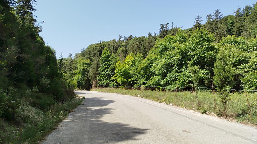
The Oak Forests of Malaki: The valley connecting Kato Malaki and Monopari holds some of the thickest stands of native Cretan oaks in the region, making the air remarkably cool even in the heat of summer.
Rider’s Notes
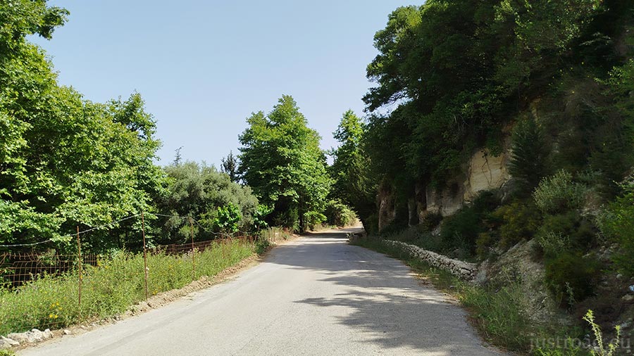
Road Width: A highly varied provincial B-road. The stretches near Koxare and Kaloniktis are wide and comfortable, while the interior segments passing through old village centers like Kato Malaki, Moundros, and Alones narrow down significantly to tight, blind single lanes.
Surface: Fully paved asphalt throughout. The grip quality is generally reliable, but because this is a core agricultural and shepherd route, watch out for smooth, worn tarmac on the mountain curves, loose gravel washed from the banks, or dirt from farm 4x4s.
Caution: The loop features a high number of blind corners under heavy tree canopies. Expect the unexpected around these bends—whether it's a parked local tractor, a slow-moving pickup, or a small herd of goats resting in the shade.
Info box
Surface: Asphalt
Road classes: C road
Terrains: Mountainous
Traffic: Almost none
Coordinates start (DD): 35.24069,24.46952
Coordinates end (DD): 35.24085,24.46958