
Koxare Koules, Fort,
Central Crete
Koxare Koules
Perched strategically on a rocky hilltop near the village of Koxare at the northern entrance of the dramatic Kourtaliótiko Farángi, the Koules of Koxare is a historic Ottoman outpost fortification built during a crucial period of Cretan history.
Strategic History:
Following the major Cretan Revolution of 1866, the Ottoman administration constructed a network of small stone forts across the island, known locally as kouledes (from the Turkish word kule, meaning tower or fort). Placed at key mountain passes, gorges, and elevated vantage points, these outposts were designed to control troop movements, secure communication lines, and suppress local rebel forces. The fort at Koxare held a vital position, guarding the northern access route into the narrow, impassable Kourtaliotis canyon.
Architecture & Atmosphere:
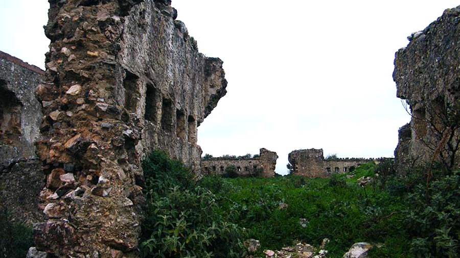
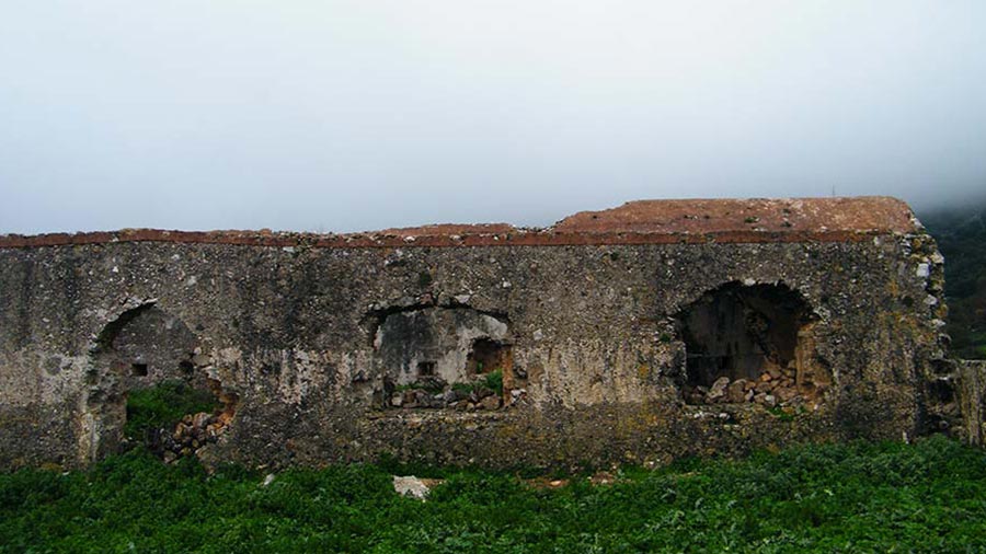
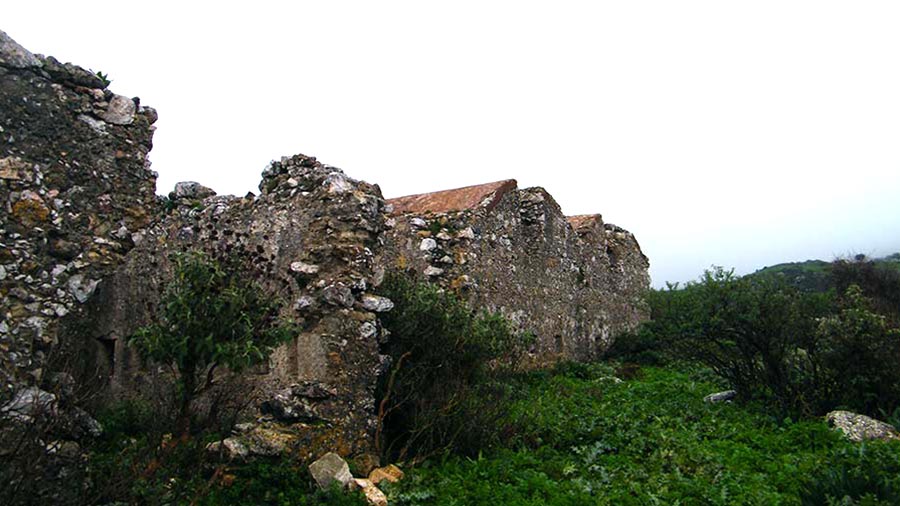
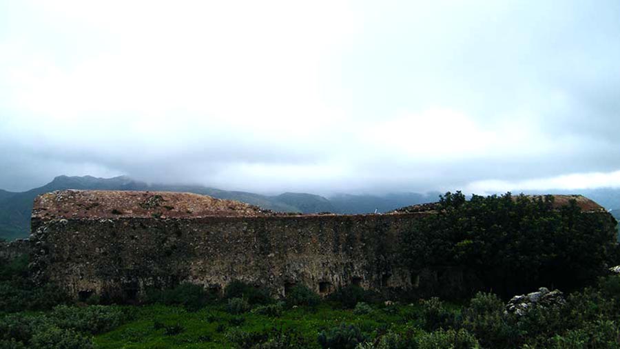
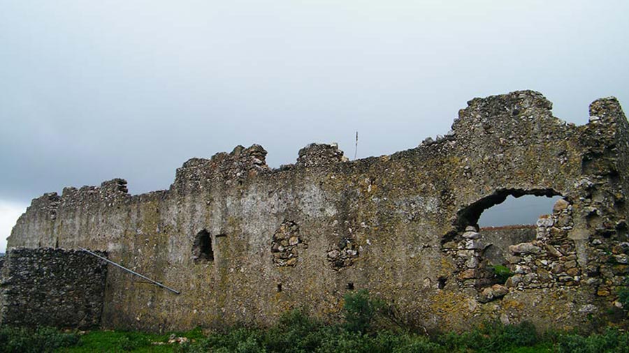
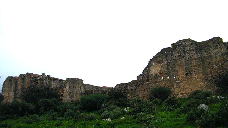
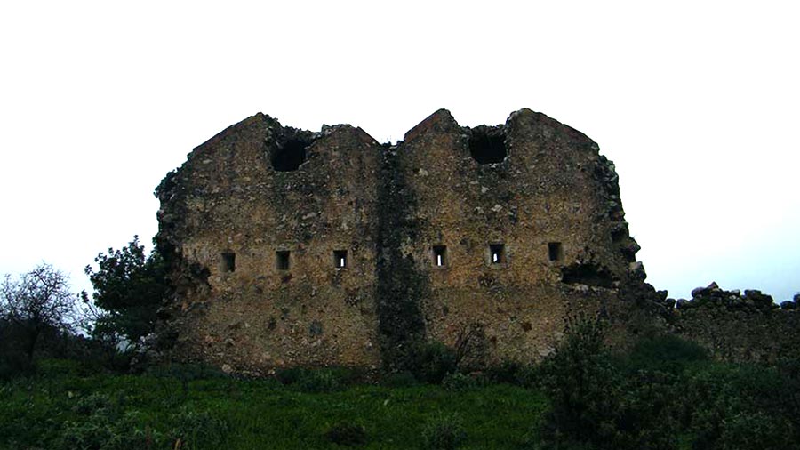
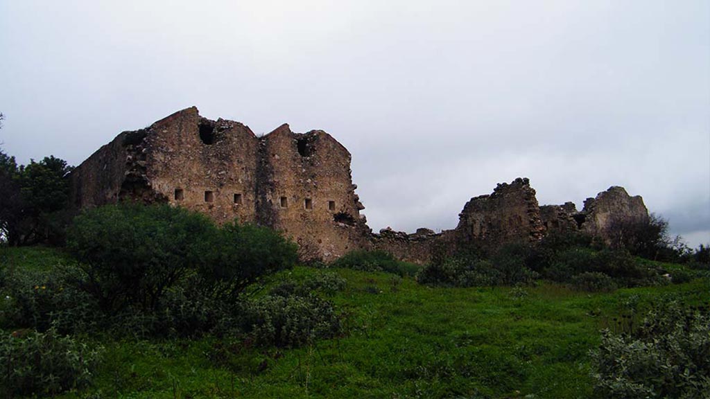
Although now largely in ruins, the stronghold's stone perimeter walls, loop-holes (gun ports), and defensive layout remain clearly visible. Set against the rugged limestone terrain of the surrounding hills, the site offers sweeping, commanding views over the Koxare basin and down toward the mouth of the gorge.
Rider’s/Explorer's Notes:
The Access: Easily accessible from the main asphalt road connecting Rethymno with Spili and Plakias. Before entering the gorge near Koxare, a brief dirt path or short hike up the hillside leads directly to the ruins. It makes for an ideal, quick historical stop before riding or driving through the towering cliffs of Kourtaliotis.
Info box
Coordinates (DD): 35.22070260992469, 24.466775337954914