
Agios Ioannis - Krousia,
West Crete
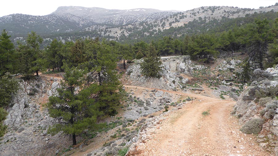
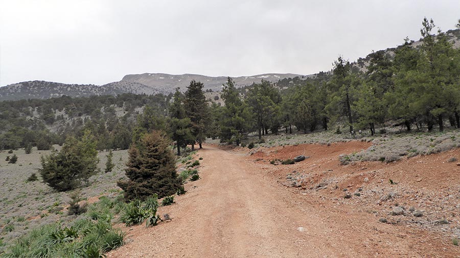
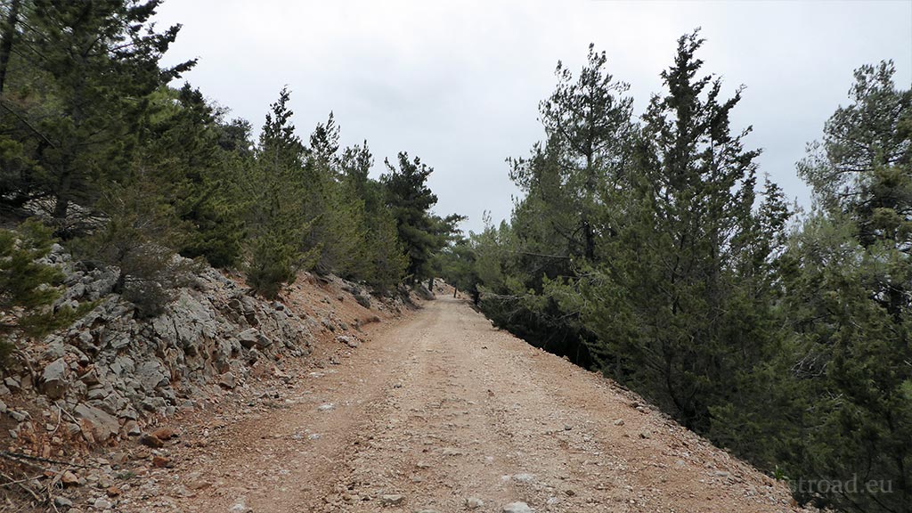
The ~6-kilometer ascent from Agios Ioannis to Krousia is a pure mountain climb into the stark wilderness of the Sfakian mountains. Located just past the famous Aradena Gorge, this moderately difficult unpaved track rises steeply from the pine forests of the lower terraces up to a dead-end ridge that stands as the absolute gateway to the high summits.
1. Leaving the Pine Terraces
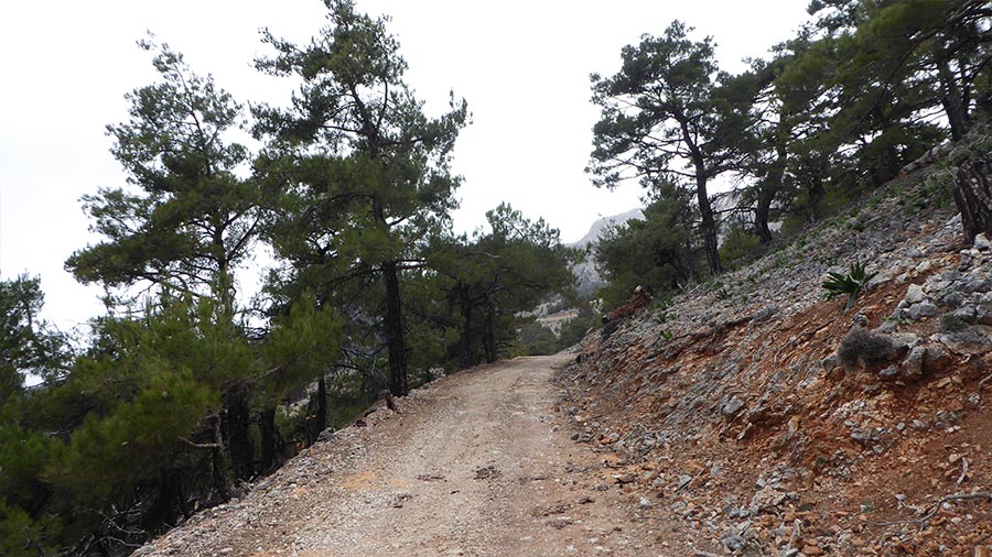
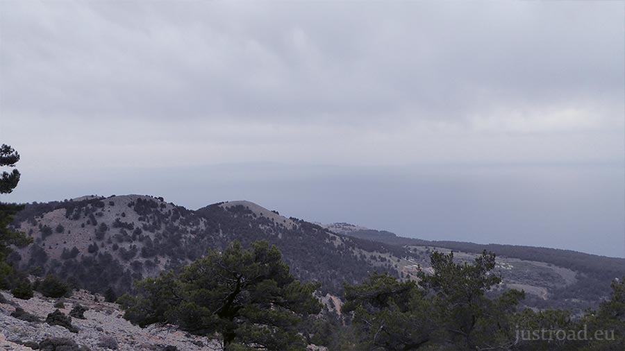
The route begins at the quiet, historic village of Agios Ioannis, the last inhabited settlement on this side of the plateau. As you clear the village borders, the pavement ends and the dirt track immediately starts to twist upward. The initial kilometers take you through a beautiful, sparse forest of ancient Cretan pines and holm oaks—a rare splash of green before the terrain shifts into the barren high country.
2. Climbing the Sfakian Scree (The Unpaved Section)
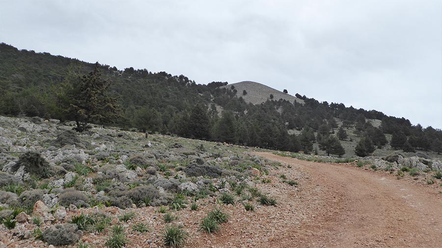
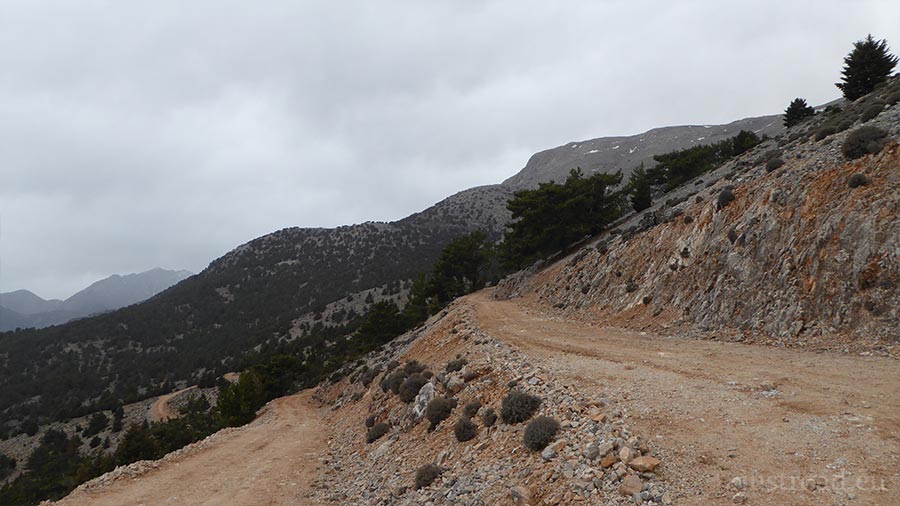
The track climbs aggressively via a series of sharp mountain switchbacks, offering a moderate off-road challenge. The surface consists of loose limestone gravel, larger stones, and sections of bedrock that require careful line selection. With every hairpin turn, the trees thin out and the massive, sheer cliffs of the Lefka Ori loom larger ahead, while the Libyan Sea opens up in an immense panorama behind you.
3. The Dead End at Krousia
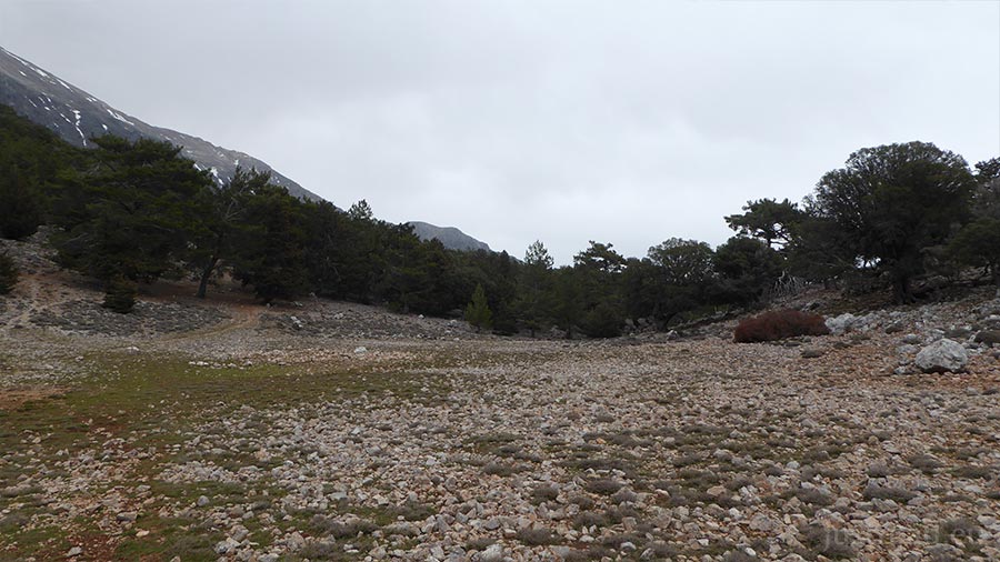
The road comes to a definitive halt at the high ridge of Krousia. There is no thoroughfare here; the track simply ends, leaving you at a striking, high-altitude vantage point. This isolated spot is the starting trailhead for serious mountaineers trekking deeper into the "High Desert" or making the long, demanding hike toward the peak of Pachnes, offering a profound sense of absolute silence and scale.
Whispers of the White Mountains: Local Secrets
The Last Outpost: Agios Ioannis has deep revolutionary roots. For centuries, its isolated position past the Aradena Gorge made it a natural stronghold and a refuge for freedom fighters during various occupations.
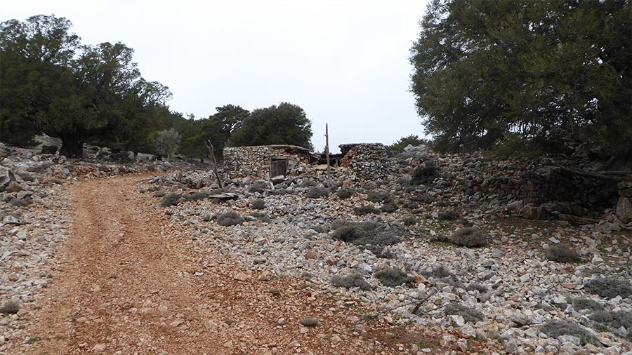
The Ancient Trailways: Long before this dirt track was carved for 4x4s, Sfakian shepherds used an ancient stone-paved path (kalderimi) in this exact area to move their flocks to the high pastures—parts of which can still be seen by hikers crossing the ridges.
The Sfakian Cypress: Keep an eye out for the unique, wind-battered cypress trees clinging to the rocky crags near Krousia. These trees have adapted to grow horizontally rather than vertically to survive the brutal winter gales.
Rider’s Notes
Road Width: A classic, narrow single-lane mountain dirt track. Turning around can be tight in certain sections, so pay attention to the wider switchback corners.
Surface: Completely unpaved and moderately difficult. Expect a loose, rocky base with ruts carved by winter snowmelt. A proper 4x4 vehicle with high clearance or a dual-sport/adventure motorcycle is necessary to climb the gradient comfortably.
Caution: There are sharp, vertical drop-offs along the side of the track with no safety barriers. The high-altitude winds here can be fierce, and weather conditions can drop rapidly compared to the coast down at Chora Sfakion. Always watch for loose rocks tumbling onto the path from the cliffs above and free-roaming goats.
Info box
Surface: Unpaved
Unpaved difficulty level: 5 (medium)

Road classes: Unclassified
Terrains: Mountainous
Traffic: Almost none
Coordinates start (DD): 35.231759, 24.018998
Coordinates end (DD): 35.249416, 24.030669