
Epano Episkopi - Monte Forte,
East Crete
The ~9-kilometer ascent from Epano Episkopi to Monte Forte is a short but intense trek into the medieval defensive history of eastern Crete. This route consists of a moderately challenging unpaved mountain track that climbs away from the rural valleys of Sitia up to the rugged, isolated peak where one of the island's largest Venetian fortresses once stood.
1. Leaving the Valley Floor
The route starts at the quiet village of Epano Episkopi, nestled in a fertile agricultural valley. As you leave the settlement behind, the pavement quickly ends, and the unpaved track begins its steady, winding climb. The initial stretch takes you through tiers of olive groves, but the landscape rapidly turns rocky and barren as you gain altitude.
2. The Climb to the Crag (The Unpaved Section)
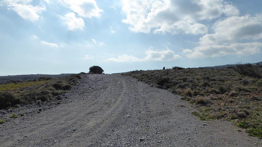
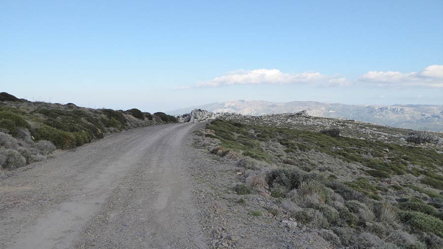
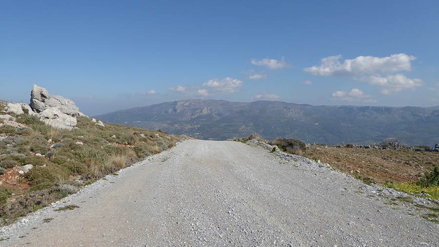
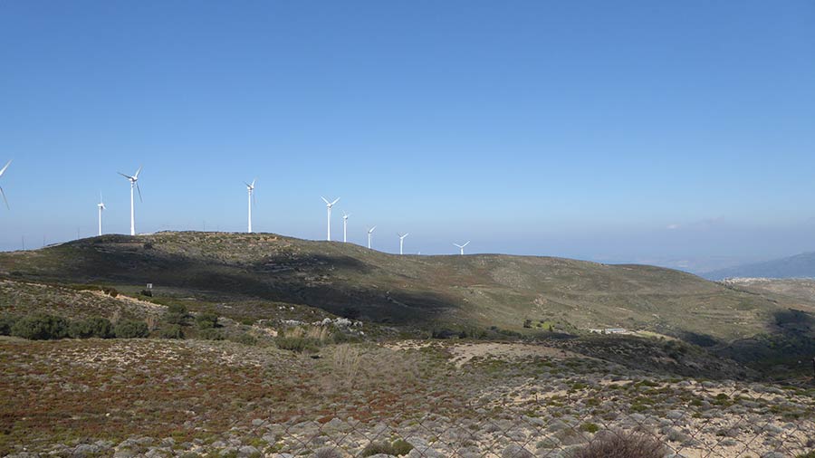
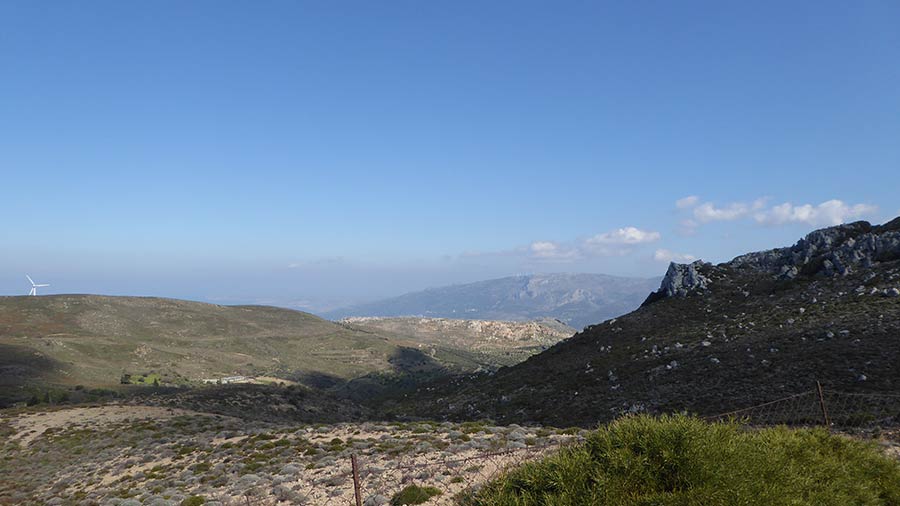
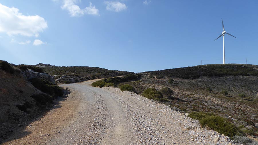
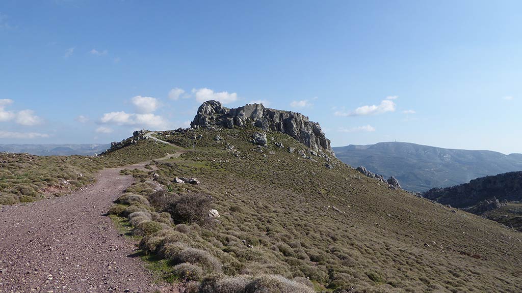
The core of this route is a true mountain dirt track that demands your full attention. The road throws a mix of loose stones, rocky steps, and sharp switchbacks at you as it follows the contours of the hillside. As the gradient increases, the agricultural fields disappear completely, replaced by wild, wind-swept Cretan scrub and panoramic views expanding across the northern coastline and the Gulf of Sitia.
3. Reaching the Fortress Ridge
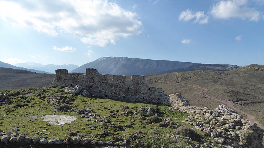
The track culminates just below the dramatic limestone crag of Monte Forte (or Liopetro). From the end of the drivable path, a short scramble leads to the ruins of the fortress. Perched high above the surrounding landscape, the site offers an immense, strategic 360-degree view that reveals exactly why medieval engineers chose this specific peak to guard the entire region.
Whispers of the Stronghold: Local Secrets
The "Mighty Fortress": Built by the Venetians—likely during the 13th or 14th century—Monte Forte was designed as a massive refuge for the local population during pirate raids and enemy invasions. Its walls enclosed a huge area, including large water cisterns and a church.
The Defensive Network: From this peak, guards could visually communicate via smoke or fire signals with other watchtowers and fortifications along the coast, creating an early warning system against incoming fleets.
The Byzantine Roots: Before the Venetians fortified the hill, the site shows signs of being used by the Byzantines, proving that this rugged crag has been recognized as a natural shield for centuries.
Rider’s Notes
Road Width: A narrow, single-lane mountain track. There are limited spots to pull over if you encounter rare oncoming agricultural or local traffic, so plan your lines carefully.
Surface: Completely unpaved and moderately difficult. Expect loose gravel, embedded rocks, and ruts caused by winter rain erosion. A high-clearance 4x4 or a capable Adventure/Enduro motorcycle is highly recommended to handle the uneven terrain.
Caution: The track is exposed with significant drop-offs on the side and no safety barriers. Strong northerly winds can blast this hillside fiercely, so hold your line steadily. Keep an eye out for loose livestock and the occasional stray rock on the path.
Info box
Surface: Asphalt & Unpaved part
Unpaved difficulty level: 5 (medium)

Road classes: Unclassified, C road
Terrains: Mountainous
Traffic: Almost none
Coordinates start (DD): 35.13238, 2607291
Coordinates end (DD): 35.11904, 26.03669